Discover the Upplands Trail
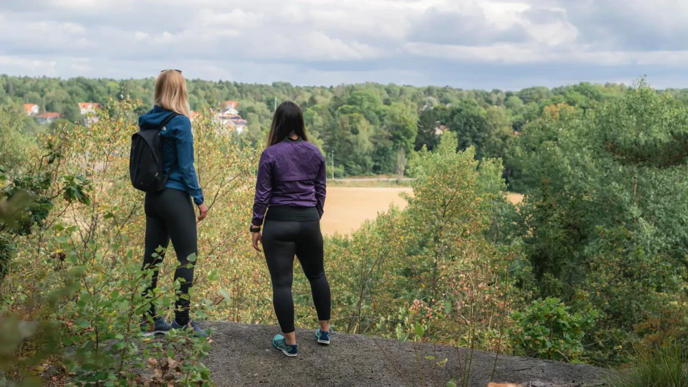
Stretching 500 kilometers from the bays of Lake Mälaren in the south to the archipelago of the Dalälven River in the north, the Upplands Trail winds its way through the landscape. As you hike, you’ll experience a stunning slice of Uppland in a peaceful and accessible way. Walk across cloudberry marshes where black grouse roam, through forests alive with woodpeckers and owls, and along field edges and groves teeming with butterflies.
From a simple lean-to shelter, you can take in the sounds of the morning or watch a tranquil sunset as your coffee pot bubbles over the fire. Follow the orange markings on trees and signposts, and you’ll eventually reach your destination.
The first section of the trail consists of several stages offering both invigorating and captivating hiking. Stage 10 begins at the Kolarmora River, which also serves as an excellent canoe route, and continues for 30 kilometers along uneven, narrow forest paths. Along the way, you’ll find a pleasant rest and swimming spot, as well as a lean-to shelter at Gisslaren — perfect if you’d like to split the hike and spend the night. The stage ends at the grand Gimo Manor, from where Stage 11 continues with an equally impressive 21 kilometers. Don’t miss Färnebofjärden National Park along stages 18, 19, and 20, where the landscape of islands and skerries is truly captivating.
Here you’ll find a map of the Upplands Trail, divided into approximately 45 sections and loops.


